Skip to content
Log in
Toggle navigation
Data
Organizations
Groups
Showcase
About
Search Datasets
New Mexico Water Data
A collection of water data - for effective water management and planning.
Search
Groups
Water Quantity
Water Quality
Water Planning
Ecosystems & Wildlife
Infrastructure
Climate
Water Use
Energy
Natural Hazards
Showcases
NM Office of the State Engineer/Interstate Stream Commission Point of Diversion
View NM Office of the State Engineer/Interstate Stream Commission Point of Diversion
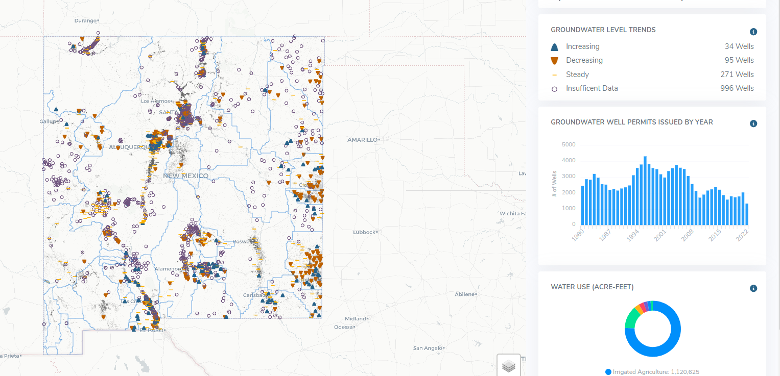
NM Bureau of Geology and Mineral Resources Groundwater Monitoring Dashboard
View NM Bureau of Geology and Mineral Resources Groundwater Monitoring Dashboard
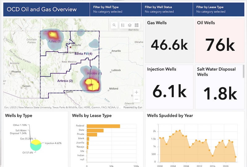
NM Energy, Minerals, and Natural Resources Department OCD Geospatial Hub
View NM Energy, Minerals, and Natural Resources Department OCD Geospatial Hub
NM Environmental Department OpenEnviroMap
View NM Environmental Department OpenEnviroMap
Popular Datasets
Browse popular datasets below.
NMED Drinking Water Watch
46 recent views
HTML
MP4
USDA NRCS Precipitation Data
41 recent views
HTML
New Mexico State Boundary
39 recent views
GeoJSON
XML
Oil Conservation Division Well Search Tool
36 recent views
HTML
USBR Hydrodata Gage Map
35 recent views
HTML
New and Recent Datasets
Browse new or recently updated datasets below.
ISC NegativeEasements
Updated on May 23, 2024
HTML
ArcGIS GeoServices REST API
CSV
GeoJSON
ZIP
KML
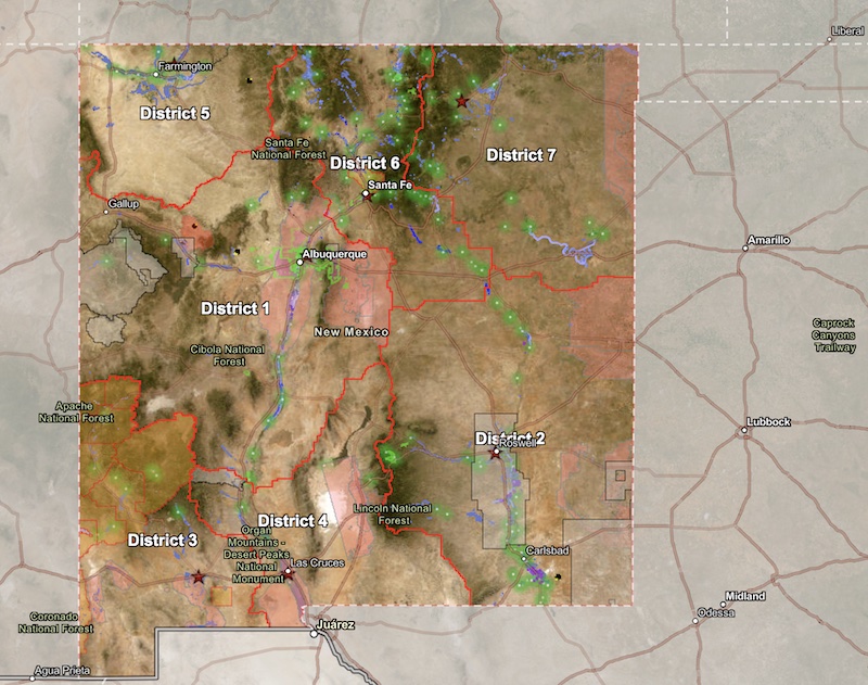
Water Planning Regions
Updated on May 23, 2024
HTML
ArcGIS GeoServices REST API
CSV
GeoJSON
ZIP
KML
OSE Declared GW Basins with Extensions
Updated on May 23, 2024
HTML
ArcGIS GeoServices REST API
CSV
GeoJSON
ZIP
KML
NM Irrigation Districts
Updated on May 23, 2024
HTML
ArcGIS GeoServices REST API
CSV
GeoJSON
ZIP
KML
OSE PODs
Updated on May 23, 2024
HTML
ArcGIS GeoServices REST API
CSV
GeoJSON
ZIP
KML